

 VN
VNSea level rise is the increase in average sea level due to the effects of climate change including tides, storm surges and other natural impacts. On the other hand, rising sea levels are a manifestation of global warming, which is one of the phenomena of climate change. Sea level rise is a natural phenomenon that is very dangerous for people and property in coastal areas. Therefore, studying this issue is very important and has practical significance.
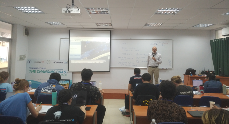
Third day of class “Changing Coast” Students have learned basic knowledge about sea level rise fluctuations, effects of climate change on mangrove forests, and trace gases in the marine environment.
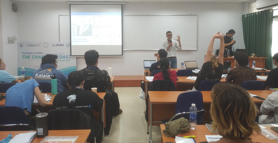
In the subject “Coastal Sea level rise fluctuations“, students have gotten knowledge about sea level rise, main factors causing sea level rise as well as how to calculate and analyze of sea level rise fluctuations data after eliminating influence of some factors. The lecture content is presented by Dr. Nguyen Cong Thanh..
In the subject “Influence of climate change on mangrove forests“, students received new knowledge about mangrove forests such as mangrove ecosystems, and the consequences of the effects of climate change, impact on this sensitive ecosystem was presented by Associate Professor. Dr. Vo Luong Hong Phuoc.
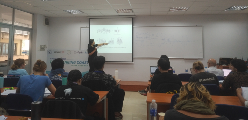
Lecture on “Influence of climate change on Mangrove forests” is presented by Prof. Võ Lương Hồng Phước
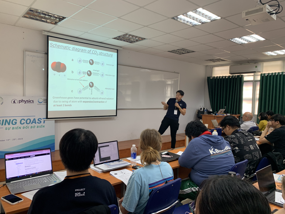
In the subject “Trace Gases in the Marine Environment“, Professor. Sohiko Kameyama (from Hokkaido University) introduced greenhouse gases such as carbon dioxide, methane and some other gases. Professor also introduced the effects of its impact on the atmospheric environment or the effects of climate change. Besides, he also introduced monitoring and collecting water samples in polar regions with interesting polar expeditions. The lecture excited the students with laughter and curious questions about this research field.
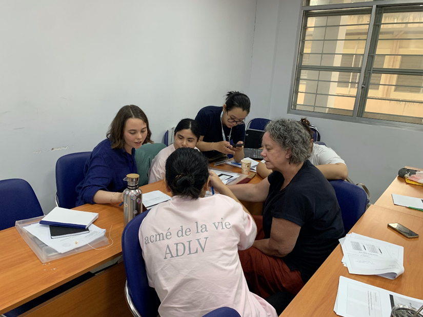
In this practical lesson, the teacher instructed the groups to use QGIS software to study sea level rise. Groups were instructed on how to download DEM images from utilities in QGIS as well as reputable websites. Use QGIS to extract different elevations and then use these data to simulate different sea level rise scenarios and affected regions. During the lesson,
Professor. Andrew Fischer also introduced several of websites where you can see simulations of how many meters the sea level will rise and which areas will be affected.
Some photos are posted on the YouTube channel of the Department of Oceanology, Meteorology and Hydrology (the attached link)